DOST-PAGASA develops method to forecast storms 2 weeks in advance
By: Angie Quadra-Balibay
|
Published on: July 9, 2020

PAGASA is testing a new model that allows it to see storms developing two weeks before they occur. Screengrab from PAGASA Weather Forecast July 9, 2020.
The Philippine Atmospheric, Geophysical and Astronomical Services Administration (PAGASA) of the Department of Science and Technology (DOST) is testing a new weather forecasting model that shows the development of storms, two weeks before they occur.
The storm prediction model provides the probable location and direction of the tropical cyclone before it hits the Philippines.
The new weather forecasting method was developed by DOST-PAGASA researchers are based on the output of the numerical models used by the United States’ Global Forecasting System and the tropical cyclone warning of Taiwan’s Central Weather Bureau. The previous storm forecasting issued monthly was based on statistics.
Dr. Esperanza Cayanan, PAGASA Deputy Administrator for Research and Development, announced the testing of the new weather forecasting model on July 3, 2020, during the public briefing released on DOSTv Facebook.

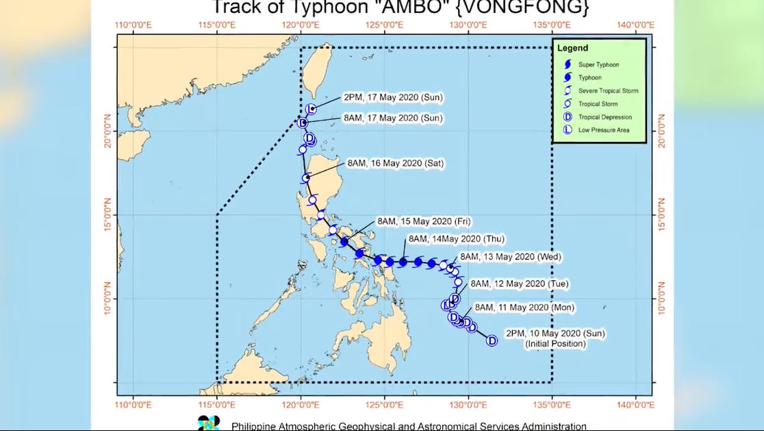
The new storm forecasting model was already used to forecast the arrival of typhoon Ambo last May. Screengrab from DOSTv report.
Cayanan also announced the climate forecast for the Philippines for the next 6 months.
The July to September rainfall is predicted to be below to near normal conditions due to monsoon rains, Intertropical Convergence Zone, low pressure areas, thunderstorms, and tropical cyclones.
The PAGASA official also revealed more than 50% probability of La Nina towards the last quarter of the year from October to December.
The Diwata Microsats developed by the University of the Philippines with the support of DOST had been launched into space to help in weather assessment.
In 2019, the NASA team started a Philippine climate joint study with Filipino researchers.
SEND CHEERS in the comments below to PAG ASA and DOST for finding new ways of weather forecasting to help the Philippines.
Want to know how to be a Proud Pinoy? Like, Follow, Subscribe to GoodNewsPilipinas.com, and our socials Facebook, Twitter, Instagram, Good News Pilipinas! TV on YouTube, for new story notifications, and e-mail newsletters for updates on more Filipino Pride stories.