Tag: mapping
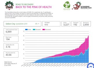
Cities winning vs. COVID-19 tracked on University of the Philippines ENDCOV.PH
The successes of cities fighting against COVID-19 are now tracked on the University of the Philippines ENDCOV.PH dashboard.
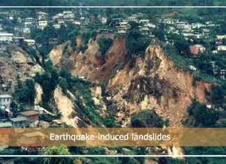
JUST IN: Philippines’ earthquake-prone areas, natural hazards mapped in new Phivolcs web tool
The Philippines' earthquake-prone areas and natural hazards have been mapped in the new Department of Science and Technology-Philippine Institute of Volcanology and Seismology (DOST-PHIVOLCS) web-based tool, GeoMapperPH, launched Thursday.


