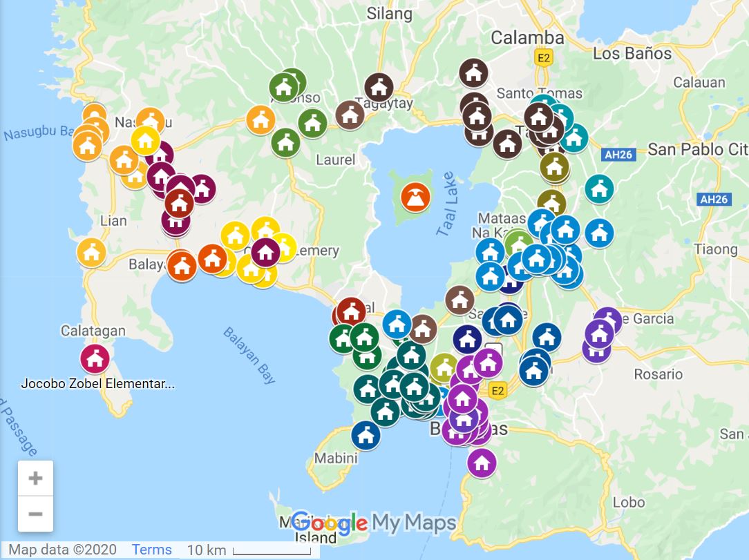
Google Philippines has just released a consolidated map of centers with regards the Taal Volcano eruption for people who need to find shelter or want to send help.
The consolidated map directs viewers to relevant locations for the following:
- Taal Volcano Eruption Evacuation centers
- Centralized drop off points for relief goods
- Contact points for evacuation of animals
- Road closures due to fissures
- Health related POIs
Google collaborated with volunteer mappers and the Batangas Public Information Office to source information sourced for the consolidated map of evacuation centers.
Click here for the Google Map for Taal Volcano Eruption Evacuation Help Centers.
Alternatively, you can use Google Search to find this map:
1. Google Search “Taal Volcano”.
2. Scroll down below among the Search results to see and tap “View on map” under “AFFECTED AREA”.
3. Tap “Layers”.
4. Tap “View in Google My Maps”.
“We hope that this will be useful to those who need help and are finding ways to help. We continue to pray for the safety of our kababayan esp. those who live near the volcano who lost their houses and livelihood,” Google announced.
Filipinos and non-Filipinos have used social media, brought help, organized relief drives, and displayed the Pinoy bayanihan and damayan spirit to help at this time of crisis after Taal Volcano in Batangas erupted on January 12, 2020, and spewed volcanic ash over a wide area including Cavite, Laguna, Metro Manila, and beyond.
SEND thanks to Google Philippines for initiating this project for the victims of the Taal Volcano eruption.
Want to know how to be a Proud Pinoy? Like, Follow, Subscribe to GoodNewsPilipinas.com and our socials Facebook, Twitter, Instagram, Good News Pilipinas! TV on YouTube, for new story notifications and e-mail newsletters for updates on more Filipino Pride stories.


